Festivals

Mongolia is located on rolling plateaus and mountains and is one of the world’s highest countries which makes tourism in Mongolia a real adventure. Landlocked between Russia and China, it has a land of 1,566,500 square kilometers. 80% of the country is above 1000 meters’ altitude. The country covers approximately 1260 km from north to south and 2400 km from west to east.

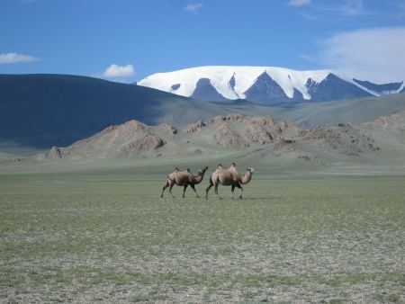
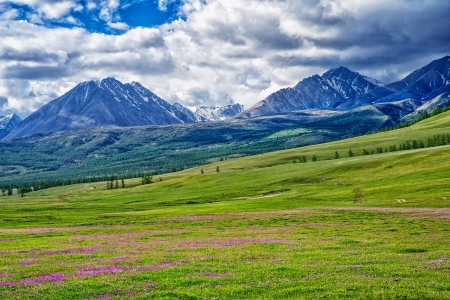
The average altitude of the country is 1580 meters. The Altai Mountains occupy the north and west, while the plains are located in the south and east. Ulaanbaatar has an altitude of 1,350 meters. The highest mountain in Mongolia is the Huiten Peak situated in the Altai Mountains with an altitude of 4374 meters, while the lowest point lies at 560 meters at Lake Huhk.

The country has three mountain ranges, namely the Altai Mountains, Khangai Mountains and Khentii Mountains. The Altai Mountains have some peaks covered in glaciers with an average of 2000 meters’ altitude. Khangai Mountains occupy the north and central Mongolia; they are included in alpine and forest pastures and have a lower elevation. The Khentii Mountains have a much lower altitude and are located near the Russian border.

Major Lakes and Rivers in Mongolia

The largest rivers in Mongolia are the Orkhon 1124 km long, Kherlen 1090 km long, and Selenge 539 km. Mongolia has numerous lakes, some of the largest are Lake Uvs which runs ​​3,350 square kilometers, Lake Khovsgol which runs 2.620 square kilometers and Lake Khar Us 1.852 square kilometers long.
Northern and central areas of the country are covered in dense forests and mountains, while the eastern part of Mongolia is covered in Asian steppe. The Gobi Desert covers one-third of the country and stretches from southern Mongolia to the western region. It contains cliffs, rocks, and dunes.